Lightning over the ocean
by Ken McKinley on 1 Jan 2017
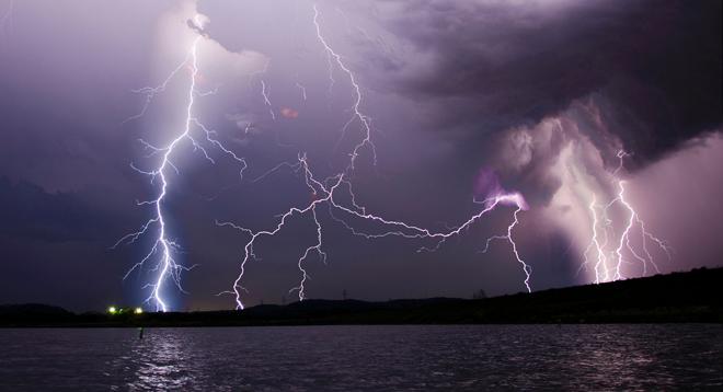
lightning strike over the Mississippi - the worst storms I've ever seen SW
Thunder and lightning while underway at sea can be rather unnerving, and can also present some significant risks. In addition to the obvious issues of lightning causing problems with electronic equipment on board, lightning is often associated with strong thunderstorms and squalls, which can produce locally strong gusty winds and locally rough seas. In some cases, these conditions can cause significant damage to the vessel, perhaps even a capsizing or sinking. Having some knowledge about where lightning is occurring is therefore quite useful.
Satellite imagery is helpful for observing cloud patterns and, in combination with the knowledge of how cloud patterns are related to weather systems and how to use satellite images to determine the types of clouds present, can give an indication of where lightning may or may not be likely to occur. But widely available satellite images do not indicate directly where lightning activity is located. For near-coastal waters, land-based radar data provides a much better indication where strong thunderstorms are occurring, but beyond coastal areas over open ocean waters this is not available.
The Ocean Prediction Center now provides lightning detection data in a few different formats, including as an overlay on satellite photos and as GRIB data. Using this data requires some sort of Internet connectivity while at sea. The availability of this data will not necessarily allow voyagers to avoid lightning but may allow for short-term course changes to minimize the duration of the lightning encounter, and certainly will allow voyagers to be better prepared for the situation.
Figure 1 is an example of a satellite image overlaid with lightning strike data. The image clearly shows a cloud band extending from northeast to southwest in the western Atlantic Ocean, and for those used to looking at these types of images, such a cloud band is quite typical of a cold front. The colored pixels within the cloud band show the count of lightning strikes per square kilometer per minute over the previous 30 minutes using the scale on the left-hand side of the chart. This display allows a more precise location of where the lightning is occurring at the time of the satellite image than the image on its own could provide.
Figure 2 is the Atlantic surface analysis valid at about the same time as the image in Figure 1 (about an hour earlier). The analysis shows three cold fronts in the western Atlantic, and by comparing this to the lightning data it is clear that it is the easternmost front that is the most active.
The lightning data will allow mariners to make some determinations about how systems are behaving over the oceans. In the example noted above, the user can determine how active a cold front is in any given situation. Other frontal boundaries (warm fronts and occluded fronts) may also produce thunderstorms at times, and by looking at the lightning data, a determination can be made about the risks involved with those features.
Other areas of concern can include developing secondary lows and rapidly developing lows. Often the first sign that one of these features is beginning to develop will be a burst of lightning activity associated with the energy involved in these situations; although forecasts and forecast models have become quite skilled at predicting secondary low development, the onset of lightning activity can confirm that the development is occurring and identify more precisely the location of the development. Similarly, in the case of rapidly developing lows, the amount of lightning activity can confirm the magnitude of the intensification of the system.
In the tropics, the data can be used to indicate how strong tropical waves are and whether or not they are intensifying (as indicated by increasing or decreasing lightning activity with time). For those vessels that will be crossing the Intertropical Convergence Zone (ITCZ), the lightning data can indicate where the more active portions of that feature are.
The data can be found at the Ocean Prediction Center website by clicking on either the Atlantic or Pacific tab and scrolling down to the “Lightning Strike Density” section. While the lightning products were originally added to the website as experimental products, they are now considered operational and are routinely available. To gather more detailed information about the products, including information on how to obtain the GRIB versions, click here.
For more information click here.
If you want to link to this article then please use this URL: www.sailworldcruising.com/150823