Satellite imaging for search and rescue - coming of age
by Bruce Dorminey, Forbes/Sail-World Cruising on 27 Nov 2013
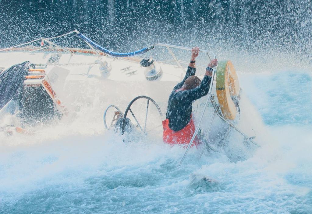
A catastrophic event may destroy all communications gear on board very rapidly SW
Two leaders in the field of search and rescue have stated that it won't be long before satellite imaging is all part of the matrix when a sailing boat sounds an alarm or goes missing in the ocean - and this could make all the difference.
'Until now, it’s not been realistic to use such images in real time [for searches] unless you were a government agency,' Jeff Glickman, a nationally-recognized Seattle-area satellite image analyst, recently told Bruce Dorminey of Forbes. 'What’s changed in the last year is the development of certain polar orbiting commercial satellites capable of scanning the earth quickly. We’re at a tipping point where you could catch a water craft on an image at least once a day.'
In the news recently are two incidents to which this could apply - one fictional, one all too tragically real. In the film 'All is Lost', Robert Redford, sailing solo seventeen hundred miles off the Sumatran Straits, is hit by a drifting sea-land cargo container.
Although Redford manages to make three SOS calls, he’s soon forced to abandon ship.
While the causes of a real tragedy at sea - the demise of the Nina in the Tasman Sea - may never be known, something just as catastrophic may have happened to this fully-crewed, 70-foot American schooner.
But in such rare cases when all emergency communications fail, satellite imaging could now make the crucial search and rescue difference.
The story is well-known to Sail-World readers. With seven aboard, including six Americans, the Nina’s last confirmed, but undelivered satellite phone text message, stated that that the schooner had had its storm sails stripped away and was encountering 110 km/hour wind gusts and 8-meter ocean swells.
By then, the craft was estimated to be some 370 nautical miles West-North-West of Cape Reinga in the Tasman Sea, between Newcastle, Australia and Opua, New Zealand.
However, Maritime New Zealand’s Rescue Coordination Centre officially suspended its search after 12 days, which included covering some 737,000 sq. nautical miles with a Royal New Zealand Air Force P-3 Orion aircraft.
Meanwhile, friends and families of Nina’s missing crew contacted DigitalGlobe DGI +0.85%. The U.S.-based satellite operator readily agreed to reposition its constellation of commercial satellites to collect high-resolution imagery of almost 500,000 square kilometers — an area larger than California. DigitalGlobe then used its recently-acquired Tomnod crowdsourcing online platform to aid in the search.
DigitalGlobe recruited thousands of online users to help sift through massive amounts of sat-photo images and tag anything that might look like the missing craft or its life raft.
An image taken September 16th by DigitalGlobe’s QuickBird satellite was flagged as potentially being the missing yacht by multiple Tomnod users.
The image was then sent to Maritime New Zealand where it was thoroughly analysed in terms of whether it would 'constitute sufficiently-compelling new information to resume active searching,' says Nigel Clifford, Maritime New Zealand’s General Manager for Safety and Response services, which oversaw search and rescue for the Nina. It was then determined, says Clifford, that the QuickBird photo isn’t likely to contain an image of the missing yacht.
'But given the elapsed time, survival under this scenario is most unlikely,' said Clifford. Sadly, by the time the images were seen by potential rescuers, the target would have drifted far from the sighted position.
Clifford notes that analytical image analysis technology has to be both highly effective and fast enough to beat the clock.
'All is Lost' only reinforces just how difficult open ocean search and rescue can be. Redford’s full-sized life raft passes within half a mile of two large cargo ships and even with flares still can’t get their attention.
Glickman says as long as the craft is still on the surface, by knowing its dimensions and the satellite that imaged it, analysts could quickly compute how the vessel would appear from low earth orbit. He adds that because satellite images are registered with geospatial coordinates, in principle, search agencies using them should then have precise new location data to work with.
Right now, satellite imagery is on the fringe when it comes to search and rescue. 'We run [some] 300 sea, air and land searches annually and satellite imagery would possibly be useful in one incident per year,' said Clifford. 'That said, even for this very rare usage, we are keen to access satellite imaging’s capabilities.'
Maybe not very effective today, but in the near future satellite imaging could be one more standard tool used by the search and rescue organisation searching for lost sailors.
Source article
If you want to link to this article then please use this URL: www.sailworldcruising.com/117093