Please select your home edition
Edition
Pantaenius 2022 - SAIL LEADERBOARD - ROW

Island goes missing off Hokkaido

by The Maritime Executive 14 Nov 2018 01:58 UTC
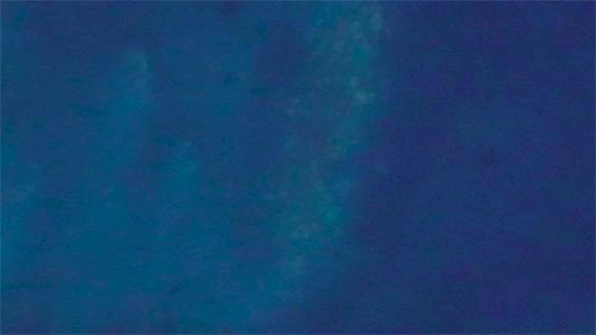
A chart from 1987 shows an island in this position, which is now occupied by what appears to be a rocky shoal © DigitalGlobe

The Japan Coast Guard has launched a search for something that would not ordinarily be hard to find: an island.

A small, uninhabited land feature named Esanbe Hanakita Kojima, once located just off the beach at Sarufutsu, Hokkaido, seems to have disappeared. Residents of Sarufutsu reported the island missing in early October, and local efforts to find it were not successful. Satellite imagery of the site from 2018 shows what appears to be a rocky shoal at the island's former charted position (image above).

Evidence suggests that the island did indeed exist in the past. It appears on charts from 30 years ago, with a listed height above water of about five feet, and residents remember its presence. "Around a decade from 1975, there was a small island around there, and we stayed clear of the area," an elderly fisherman told Asahi Shimbun.

To read more please go to the original article.

Related Articles

NOAA plans to stop producing paper charts
Plans to phase out the production of all traditional paper charts On Friday, the U.S. National Oceanic and Atmospheric Administration's Office of Coast Survey announced plans to phase out the production of all traditional paper nautical charts. Posted on 17 Nov 2019
Survey vessel rescues yacht in distress
Survey vessel rescues yacht in distress On March 6, the offshore survey vessel Seabed Constructor helped to rescue an injured sailor from a damaged yacht. The Constructor had just finished a successful mission to recover the voyage data recorder (VDR) from the wreck of the Stellar Daisy. Posted on 15 Mar 2019
Navy-funded scientist wins award for seafloor map
Awarded American Geophysical Union's Charles A. Whitten Medal Dr. David Sandwell, a geophysicist at Scripps, has been awarded American Geophysical Union's Charles A. Whitten Medal for creating the world's first comprehensive, high-resolution map of the ocean floor. Posted on 17 Feb 2019
Super Typhoon Yutu hits U.S. Pacific Territory
Super Typhoon Yutu struck the Northern Mariana Islands Super Typhoon Yutu struck the Northern Mariana Islands as a Category 5 storm on Wednesday with winds of up to 180 miles per hour, making it the most powerful storm of the year and one of the most powerful ever to make landfall Posted on 29 Oct 2018
Plastic Cleanup Project in Pacific Garbage Patch
Maersk deploys the AHTS Maersk Launcher Offshore vessel operator Maersk Supply Service has agreed to deploy the AHTS Maersk Launcher in support of the deployment of The Ocean Cleanup trash removal system, which aims to remove plastic debris from the waters of the North Pacific. Posted on 18 Aug 2018
Court orders seafood import ban to save vaquita
This is the life line the vaquita desperately needs Responding to a lawsuit filed by conservation groups, the U.S. Court of International Trade has ordered the U.S. Government to ban seafood imports from Mexico caught with gillnets that kill the critically endangered vaquita porpoise. Posted on 10 Aug 2018
ECDIS: What happens when the GPS signal goes away?
GPS disruptions are a global concern The U.S. Maritime Administration issued U.S. Maritime Alert 2018-004 A "Possible GPS Interference – Eastern Mediterranean Sea" on March 23 in in response to reports of GPS disruptions and interference from multiple vessels and aircraft Posted on 6 Apr 2018
Selden 2020 - FOOTERCyclops Marine 2023 November - FOOTERHenri-Lloyd - For the Obsessed